Cape Mabou Highlands Trails
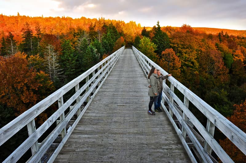
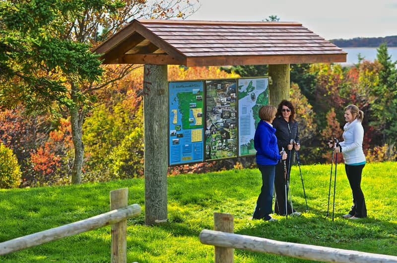
The Cape Mabou Highlands trail system is a 35-kilometre network of interconnected paths managed by the Cape Mabou Trail Club. Routes such as Beinn Bhiorach, MacKinnons Brook, and Sight Point string together along sheep-cropped ridges and along a wild Gulf shoreline. The terrain is genuinely remote—there is no cell service and several climbs exceed 300 metres—so carry a paper map, water, and rain gear. Trailheads are accessed from the Mabou Post Road and from the end of MacKinnons Brook Lane.
What you'll see
- A 35 km network of named routes — Beinn Bhiorach, Steep Mountain, MacKinnons Brook, Sight Point, and others.
- Sheep-cropped ridge meadows that look more like Scotland than Atlantic Canada.
- Wild Gulf coastline with cliffs, coves, and beaches accessible only on foot.
- The MacKinnons Brook valley, with the foundations of an abandoned settlement.
- Bald eagles, deer, snowshoe hare, and the occasional black bear.
On the trail
- The full system is genuinely remote — no cell service across most of it.
- Several climbs exceed 300 metres; some traverses are exposed to wind.
- Trail club volunteers maintain the network; donations and a paid map ($10 in season) support the work.
- Some loops can be done in three to four hours; full traverses run six to eight.
- Surface varies from old logging road to single-track with rock and roots.
What to bring
- A printed Cape Mabou Trail Club map — essential.
- Real hiking boots and trekking poles.
- Layers, rain gear, and a wind shell — the ridges are exposed.
- Plenty of water and a snack; no sources on the trails.
- Bug spray in early summer.
- A first-aid kit and headlamp; help is far away.
Park & access
- Trailheads at the end of the Mabou Post Road and at the end of MacKinnons Brook Lane.
- Free access; donations to the trail club appreciated.
- No washrooms at the trailheads.
- Trails closed during high-fire-risk periods — check ahead.
Combine it with
- A pint and live music at the Red Shoe Pub in Mabou village.
- West Mabou Beach for a swim after the descent.
- A square dance at the West Mabou Hall on a Saturday in season.
Getting there
Free. Volunteer-maintained. Buy the trail map locally; no facilities at trailheads.
Adapted from Cape Mabou Trail Club resources.
Visitor photos
Sign in to add a photoLoading photos…