
Gairloch Mountain Falls
Waterfall Season Select! Black Brook (Gairloch Mountain Falls) Height: 15 m Distance (one way): 1 km Difficulty: Moderate Elevation: 120 m Hiking Time: 1 hour Cellphone Coverage: Yes (intermittent) Finding the Trailhead: From Highway 105 west of Baddeck, turn onto Middle River West Road and then turn left onto Gairloch Mountain Road. After 1.5 km and at the Y intersection, pass over a small wooden bridge and go uphill to some flagging tape on the left side of the road located 2.1 km after crossing the bridge. Park here and follow the flagging tape into the woods in a southern direction. Road is susceptible to rain damage, only recommended with SUV type vehicles. Trailhead: 46°07’42.2"N 60°58’37.3"W Waterfall: 46º7’20.13”N, 60º58’39.16”W The Hike: From where you park on the logging road, the trail is marked with orange, blue and pink flagging tape all the way to the fall. It traverses a mostly maple and beech mature forest that is covered by ferns on the ground. The trail goes down slowly for the first part but then becomes very steep at the end. Ropes for the climb down are in place but be extra careful using them. Once you reach the bottom of the valley, the waterfall is only a few steps upstream.
Share a star rating, a quick note, and a photo or two to help future travellers.
Sign in to write a reviewVisitor photos
Sign in to add a photoLoading photos…
You might also like

Cape Breton Miners Museum
The Cape Breton Miners’ Museum in Glace Bay pays tribute to the contribution of the region’s coal miners and coal mining
★★★★★ (903)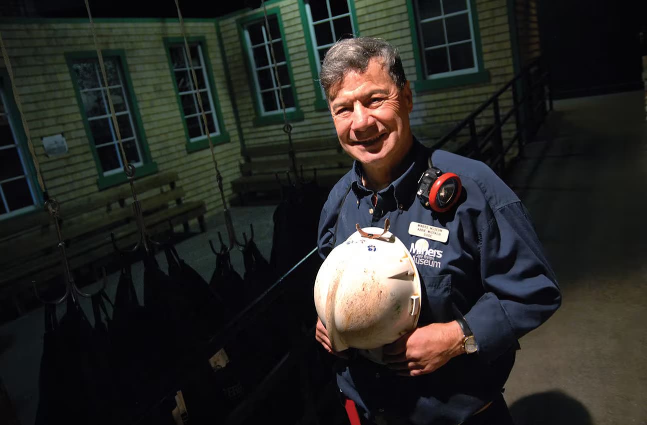
Cape Breton Miners Museum – A day in the life of a Cape Breton coal miner
Take an immersive virtual mine tour through the last century of coal mining in Cape Breton. Then journey into the depths
★★★★★ (903)
Bird Island Boat Tours
Daily tours to see puffins, other seabirds, seals & bald eagles. Educational, uniquely narrated 2 3/4 hour tours. Rain o
★★★★★ (500)